Hiking

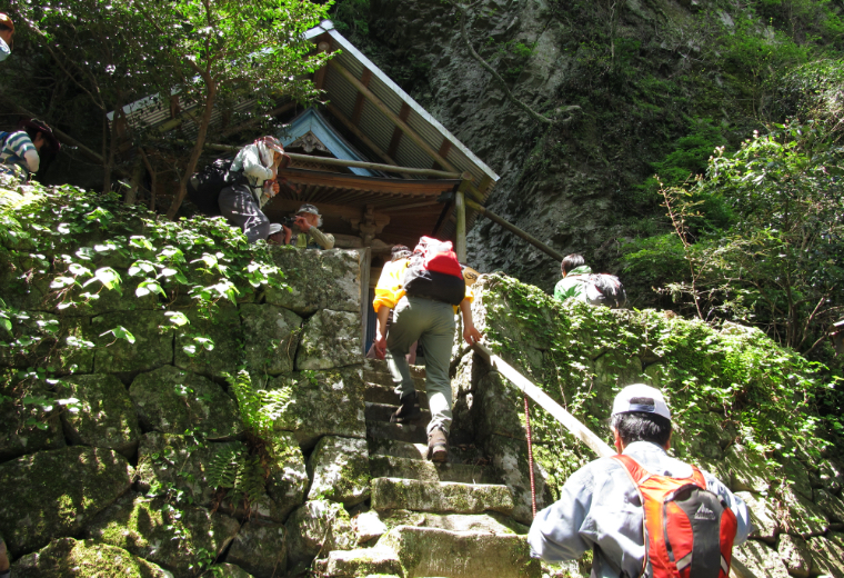
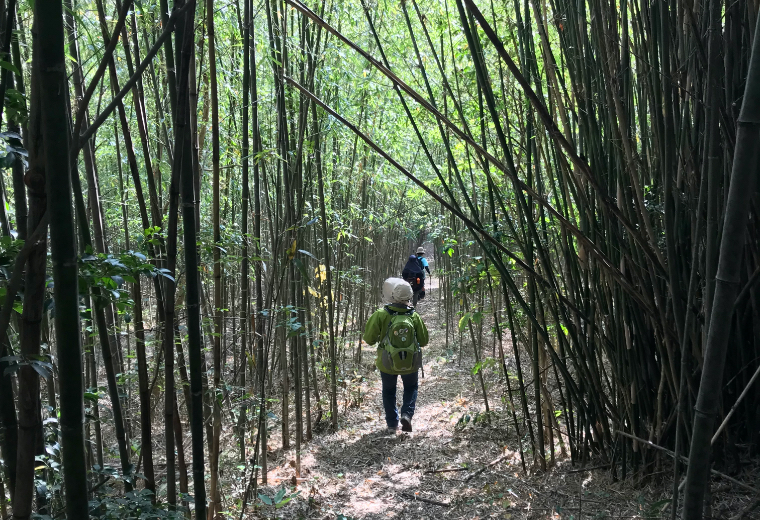
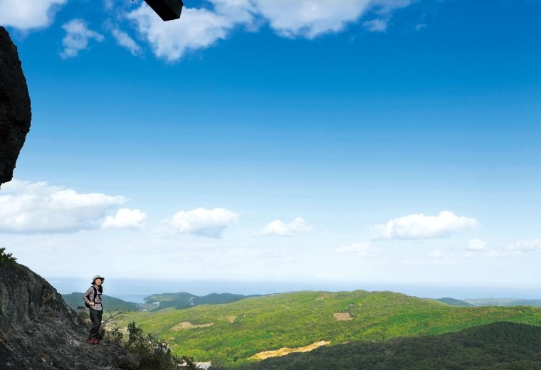
Kunisaki Peninsula was formed from volcanic activity and the center of the peninsula has many valleys and peaks. Hiking in Kunisaki will not only be through the forests but also cover roads that run through the valleys bringing you up close with local farmland, houses and people.
Finding a new experience to share with friends can be an adventure of its own! So take the opportunity to explore Kunisaki!
Kunisaki Peninsula Minemichi Long Trail
Kunisaki Peninsula’s 134 kilometers of trails lead from Kumano Magaibutsu all the way to Futago-ji Temple. Some routes have been used by monks as a part of their religious practice for hundreds of years.
The trail is broken into 10 segment courses allowing for both day hikers and thru-hikers. The entire trail is open for use by the general public with no fees charged for its use.
| Section | Kilometers | Area |
|---|---|---|
| T-1 (Kumano Magaibutsu to Kozan-ji Temple) | 11.5 | Bungotakada City |
| T-2 (Kozan-ji Temple to Nameshi Dam) | 15.2 | Bungotakada City |
| T-3 (Nameshi Dam to Matama Onsen Sansuiso) | 12.2 | Bungotakada City |
| T-4 (Matama Onsen Sansuiso to Reisen-ji Temple) | 10.3 | Bungotakada City |
| K-1 (Reisen-ji Temple to Iwato-ji Temple) | 11.2 | Kunisaki City |
| K-2 (Iwato-ji Temple to Monjusen-ji Temple) | 17.6 | Kunisaki City |
| K-3 (Monjusen-ji Temple to Gyonyu Dam Park) | 15.5 | Kunisaki City |
| K-4 (Gyonyu Dam Park to Ho-on-ji Temple) | 13.4 | Kunisaki City |
| K-5 (Ho-on-ji Temple to Baien-no-sato) | 14.3 | Kunisaki City |
| K-6 (Baien-no-sato to Futago-ji Temple | 13.5 | Kunisaki City |
The official map is available only in Japanese. For more information, please feel free to contact us.
Kunisaki Peninsula Minemichi Long Trail Official Website:http://www.kunisakihantou-trail.com/english/
Asahi Agricultural Irrigation Ponds Hike
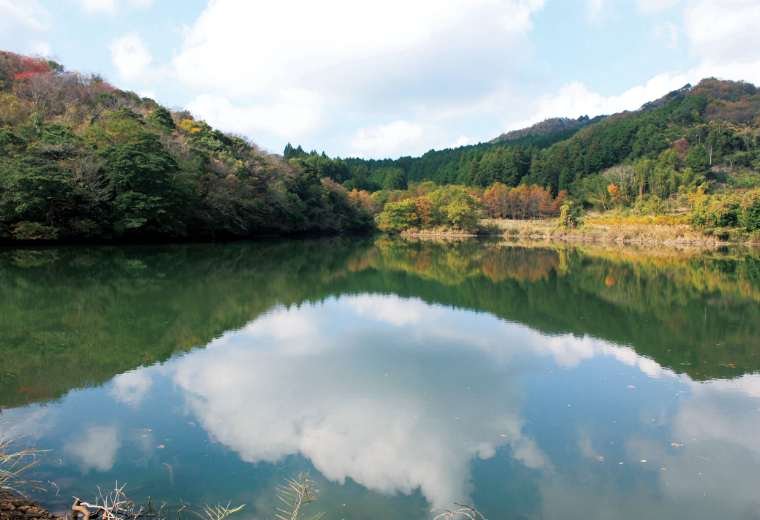
We offer other interesting footpaths in terms of traditional farming. You will see how much effort our ancestors have made to grow rice.
Please enjoy the landscape of the connected system of Sawtooth Oak forests and multiple interlinked irrigation ponds which gained Globally Important Agricultural Heritage System designation in 2013.
| Section | Kilometers |
|---|---|
| Sakichi-kun Fun Course | 4.0 |
| Sakichi-kun Mt. Gion and Mt. Gongen Course | 8.0 |
| Sakichi-kun Coast Course | 9.4 |
| Sakichi-kun The Most Popular Course | 11.5 |
Accommodation for KPMLT
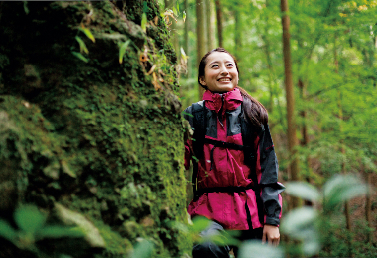
Since there are no campsite or convenient transportation along the trail, we strongly recommend that you stay in an accommodation that offers pick-up services at each trailhead.
Here is a list of hiker-friendly accommodations.
Please feel free to contact us if you need assistance when booking or if you need more information!
| Section | Accommodations |
|---|---|
| T-1 (Kumano Magaibutsu to Kozan-ji Temple) |
Kaze-no Sato Fukinoto |
| T-2 (Kozan-ji Temple to Nameshi Dam) | Fukinoto |
| T-3 (Nameshi Dam to Matama Onsen Sansuiso) | Sansuiso |
| T-4 (Matama Onsen Sansuiso to Reisen-ji Temple) |
Sansuiso Daiko-ji Temple Keisen |
| K-1 (Reisen-ji Temple to Iwato-ji Temple) |
Daiko-ji Temple Kunisaki Youth Hostel Keisen |
| K-2 (Iwato-ji Temple to Monjusen-ji Temple) |
Tomiku Chaya Monjusen-ji Temple |
| K-3 (Monjusen-ji Temple to Gyonyu Dam Park) | Tomiku Chaya |
| K-4 (Gyonyu Dam Park to Ho-on-ji Temple) | Tomiku Chaya |
| K-5 (Ho-on-ji Temple to Baien-no-sato) | Kodama Orange Farm |
| K-6 (Baien-no-sato to Futago-ji Temple | Kodama Orange Farm |
Trail Rules
Much of the trail is on private land with the permission of the owners. Following these simple rules will help preserve the trail for years to come.
- Wear proper gear.
- Respect private property and stay on designated trail.
- Do not alter or remove plants or wildlife.
- Take all litter back home.


